We were beginning to gasp a little.....so much to see and so little time available. There was no such thing as a 'lay day' during our stay at Point Samson! Today we sallied forth to explore Roebourne, the oldest town in the North-West and its modern, purpose built counterpart, Wickham.

Off we went again along the Point Samson - Roebourne road, just under 20 kms, until the town came into view with Mount Welcome in the background.

Turning left onto the North-West Coastal Highway, which runs through Roebourne's small CDB, the huge playground shelter at the local school dominates the approach to the town's main street.

We paused to check out the town swimming pool adjacent to the school grounds. It looked most inviting. In a town where summer temperatures in the high 40's are commonplace, this amenity is a must.

The divided main street is not long.

In it we found a very impressive looking construction site

which stood in complete contrast to what is obviously one the much earlier town buildings.

The old Roebourne pub opposite has clearly seen better days

but the local general store and adjoining cafe presented in much better shape.
The small stone cairn in the median strip honours one Emma Withnell, who was the first white woman to settle in the North-West when she arrive here with her husband John in 1863. Roebourne, named in honour of the State's first Surveyor-General John Septimus Roe (his name pops up yet again!) was gazetted as the first town in the North-West in August 1866 at a time when it was the only settlement between Darwin and Geraldton. The word 'isolated' resonates.
The area had first been explored by Francis Gregory in 1861. He had waxed lyrical about the pastoral potential. He just happened to be Emma Withnell's cousin who obviously respected his judgement. She and her hubby took up 30,000 acres on the banks of the nearby Harding River on their arrival and subsequently did very nicely, thank you. An enlightened couple, they employed many of the local indigenous folk as station hands and everybody got on famously.
After the town came into formal existence it became the administration centre for the entire area, with Cossack as its port. This continued until the 1960's when the bureaucrats moved to Karratha.
As so often happened in this region, the town was destroyed by a fierce cyclone in 1872. The rebuild included many of the heritage listed buildings now to be found in 'old' Roebourne. The discovery of gold, copper and tin in the surrounding area brought a new prosperity to the town, but after the decline of this mining activity in the late 1890's most of the Europeans left and Roebourne went into a sharp decline.
In an interesting reflection of the social norms of the time, Roebourne remained a 'white' town until the mid 60's. The local Aborigines were forced to live in camps outside the town and any incursions they made were subject to strict curfews.
The referendum of 1967, which resulted in the change to the Australian Constitution to include indigenous folk as 'Australians' for the first time since Federation (in particular for the purposes of being formally included in the census counts) and the later equal wage case, saw rapid changes to government attitudes, including those which had driven Roebourne's social structure. These changes, together with the development of Dampier and the construction of Wickham to house the burgeoning numbers of workers involved in the expanding iron ore industry, resulted in the population of the town being now predominately black as those from the camps and outlying stations poured in to take up residence. This was something which was abundantly clear to us as we drove around.
Roebourne now relies heavily on tourism and servicing the through traffic on the highway. The 'Emma Withnell Heritage Trail' serves as a guide to many historical sites and points of interest throughout the district.

We chose to make our own decisions and continued our jaunt along the main street, where it ends with a lovely small Memorial Park in the median strip,

adjacent to which is the grand old building which housed the local administrators for so many years.

Beyond the main street we turned left off the highway at a junction on which the beautiful old building which houses the current police station still stands.

A short distance up the hill is the old local prison building which now serves as the Visitor Information Centre. This is definitely the old part of the town. Roebourne still has a jail. It lies alongside the Point Samson Road some few kilometres out of town but will not appear here in photographs....warning notices on approach make it clear that they are strictly prohibited.

Several more old buildings are dotted around the visitor centre

and the remains of others can be seen right next to much more modern buildings a few streets away.

On the opposite side of this street is the Roebourne Hospital where the charming old building is complemented by a more modern addition, but one which does not jar.
From here the lookout at the top of Mount Welcome beckoned. Surely we would be able to see Roebourne's 'grand vista' from here.

Indeed we could as we looked eastwards over the old township to the plains and ranges beyond.

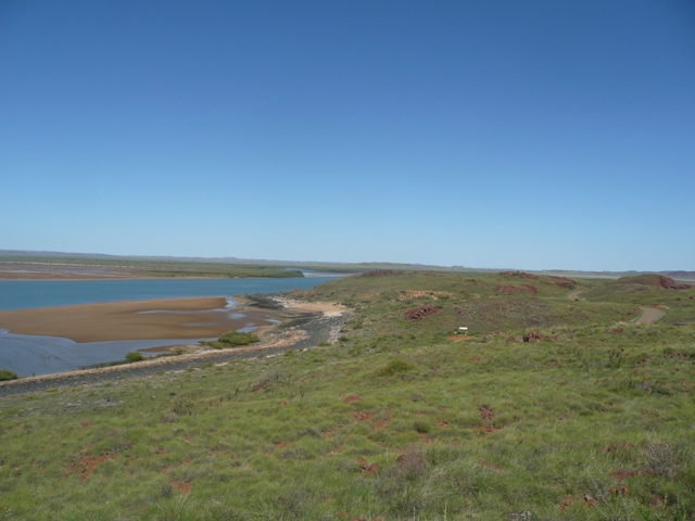
The 'modern' Roebourne lies to the north-west of the lookout where the waters of the Harding River can just be seen in the background. The two sections of the town are quite separated.

Our tour was all but done. A quick look at the old Post Office building

and a shot of the original Trinity Church high on the side of Mount Welcome competed our visit.
We were now off to Wickham, a completely different town, a town with a single purpose....to house the Pannawonica and Cape Lambert workforce. The only similarity between it and Roebourne is that Wickham is also a town of two parts, but these are much more chronologically close.
Named after Captain John Clements Wickham, who surveyed the north-west coast in 1840 in HMS Beagle, this town began life in 1970 when Cliffs Robe River Iron Associates built housing for its workers.

This older section of the town, seen here from the 'Tank Lookout'

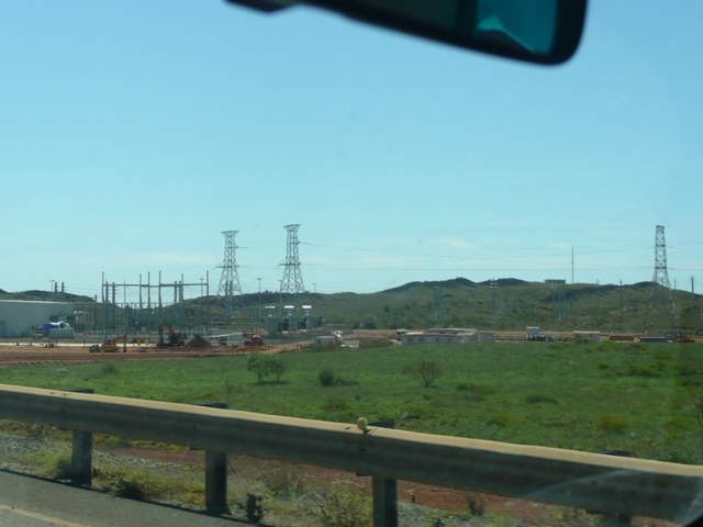
and here looking across from the Cape Lambert road,
is very different from that which followed later. Wickham is a 'company town'....Rio Tinto's.....so much so that until 1980 when Rio handed over the administration to the Roebourne Shire, it was closed to all but its residents.

With the change of administration, a housing development scheme was initiated. 'New Wickham' is the result where the shiny roof tops stand out starkly.

The streets of this side of town are interesting. Small houses, sparse gardens and big boats.

A big boat seemed to be a prerequisite for the occupation of these homes. A driveway or front yard without one was very much the exception. This town oozes high disposable incomes and 'toys for the boys'.

The same applied in the older part of the town, but here the homes are larger, are much more spaced, and the trees and gardens are well established.

Notwithstanding the Shire administration, Rio Tinto still owns the majority of the homes in Wickham where its population of nearly 2,000 are well served by a good pool and sporting park (very poorly photographed)

and a large, well stocked supermarket and BWS, a popular destination for those staying at Point Samson. The only other alternative for this sort of restocking is in Karratha, 50 kilometres further on.

This infrastructure lies between the two sections of the town, together with a section of high rise buildings which provide office accommodation for administrators of all hues.

As we left Wickham to make our way back to Point Samson, the small park at the junction with the Point Samson road leaves no doubt as to Wickham's place in the world. This is a mining town through and through,
as are Dampier and Karratha itself. We visit them next, where again we were stunned by the scale of the ore, salt and gas industry which we found.