Is it 143 metres high or does it rise 152 metres out of the surrounding sea? I found it extraordinary that this question even arises, given the prominence and popularity of this iconic Stanley landmark. The consensus is 143 (or 142) metres, but one plaque to be found on the way into Stanley still insists that the flat top of the Nut is 152 metres high.
And then there are the two names. Well, that is easy to explain. In 1798, whilst circumnavigating Van Diemen's Land (and proving once and for all that it was an island) Bass and Flinders sighted this geological phenomenon and, in my view quite logically, named it 'Circular Head'.
But with human nature being what it is, with its penchant for nicknames, as the population of the area grew, the good folk of Stanley took to calling this landmark 'the Nut' and the name has stuck. But why 'Nut'?
An information board I found on said rock told the tale.

And the story doesn't end there. In what must be considered one of the oddest quirks of language, the name which the local Aboriginal folk gave this geological phenomenon is Moo-Nut-Re-Ker. On reading this I was reminded of that TV show of yesteryear 'Fact is Stranger Than Fiction'!
Despite the almost universal use of the title 'Nut', the local government authority insists on retaining the original name.....The Circular Head Council (as we have seen on all the town signs), a name which is indisputably more officially dignified than its alternative!
An information board I found on said rock told the tale.

And the story doesn't end there. In what must be considered one of the oddest quirks of language, the name which the local Aboriginal folk gave this geological phenomenon is Moo-Nut-Re-Ker. On reading this I was reminded of that TV show of yesteryear 'Fact is Stranger Than Fiction'!
Despite the almost universal use of the title 'Nut', the local government authority insists on retaining the original name.....The Circular Head Council (as we have seen on all the town signs), a name which is indisputably more officially dignified than its alternative!
This extraordinary rock is a 'volcanic plug', all that now remains of an ancient volcano which erupted here between 25 and 70 million years ago. What we see today was once a lava flow which solidified in the centre lake of the volcanic cone. All the softer rocks which surrounded it have weathered away leaving this hard core.
With all that out of the way, it is time to do what all but a very few tourists do in Stanley.....climb it. Well, not quite.

The walking track to the flat top of the Nut is described thus on all the local signage. I'm not so sure about the 'short' bit, but there is no doubt that it is steep.
Out of consideration for your scribe's creaking knees, we opted for the chair lift to make our ascent and sensibly awaited a reasonably calm day for this venture. The Stanley winds often swirl sufficiently violently around the Nut to force the closure of the lift. Having said that, however, we did see it operating on days when, to us novices, the gondolas seemed to sway alarmingly but remained in use notwithstanding the conditions.

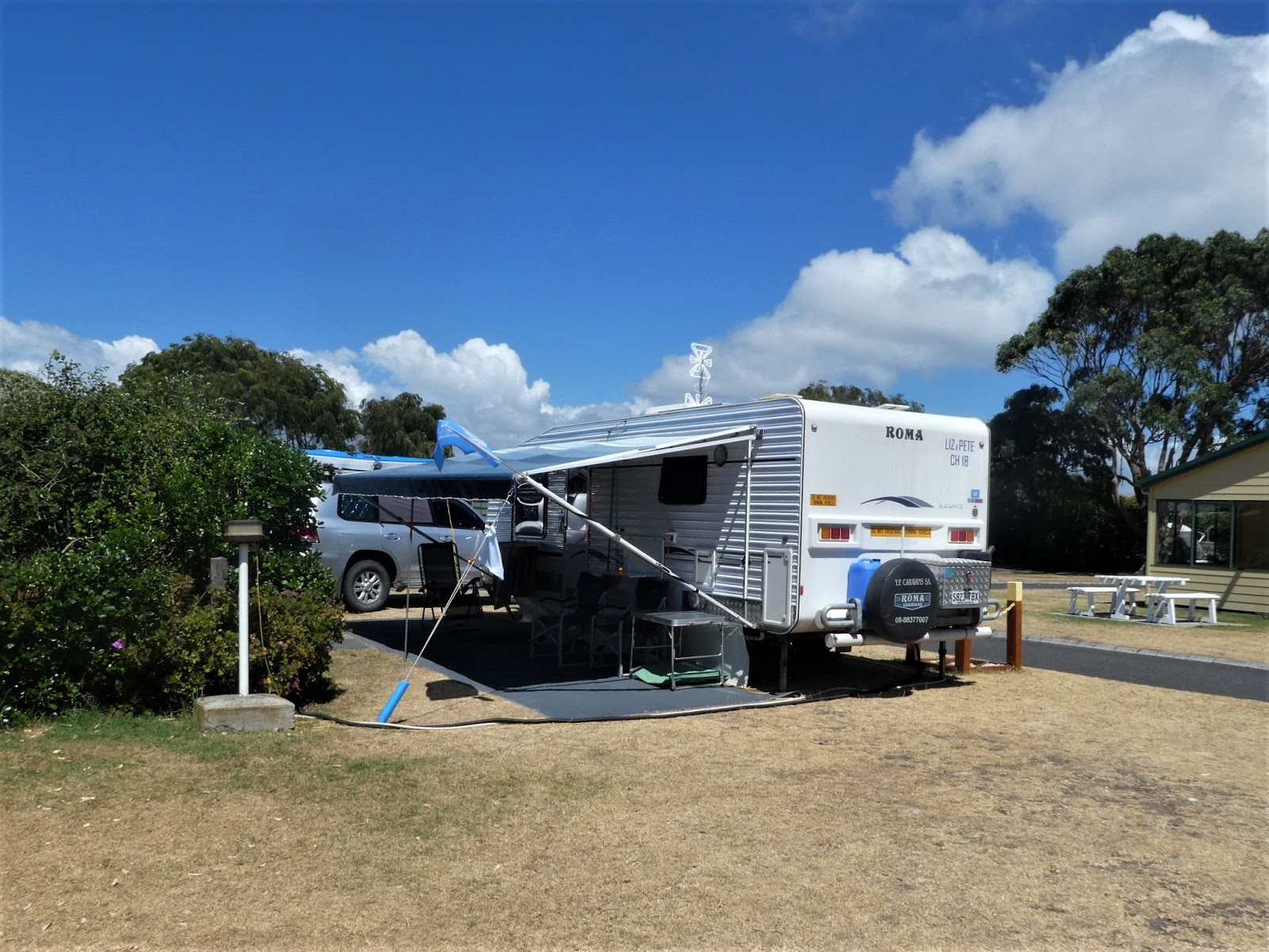
Although we did not take on the steep walk, we nevertheless had to complete a short stroll from the caravan park

up to the chair lift station cafe

and the nearby 'departure lounge'.

Things were already swinging (come on, it has been a while!). The large car park was well occupied by those who had chosen to drive up to the station.

This achieved 'sign of the day' status' from yours truly! We dutifully followed the arrow

and once inside were relieved to find that the charge for our lift to the top and back was as we had been told.....$16 per person for the two way trip.

Although we did not take on the steep walk, we nevertheless had to complete a short stroll from the caravan park

up to the chair lift station cafe

and the nearby 'departure lounge'.

Things were already swinging (come on, it has been a while!). The large car park was well occupied by those who had chosen to drive up to the station.

This achieved 'sign of the day' status' from yours truly! We dutifully followed the arrow

and once inside were relieved to find that the charge for our lift to the top and back was as we had been told.....$16 per person for the two way trip.

With our dues paid we lined up in the very functional looking departure station where we were instructed to face uphill and prepared to drop our bums into the seat of the next arriving gondola. This is a continuously moving operation which operates very much like a ski lift or 'T' bar where those who cannot judge things properly come to grief rapidly and with a distinct lack of grace.

Despite the almost inevitable rising heart rate as our designated chair approached, we both boarded like veterans, obeyed the instructions to lower the safety bar in front of us, and were away, climbing up towards the sun,

well above the tangles of creeper

and scrubby small trees which covered the lower slope.

well above the tangles of creeper

and scrubby small trees which covered the lower slope.

Our aerial vantage point gave us ample views of those slogging up and down

the walking track we had shunned. Sections like this confirmed the wisdom of our (well, my) decision. Actually the climb up would have been OK, but the downhill run would have been dynamite on my knees.

I had taken a few photos earlier during one of my roams around town which do give another perspective

of the walking track as it zig zags up the slope (I would love to claim that the inclusion in this one of my favourite flowering local tree was deliberate....nope...sheer fluke!)

I have to admit that prior to looking at this shot, I had no idea of the odd angle of some of the chair lift cable poles. This was something I'd never seen before.

I had taken a few photos earlier during one of my roams around town which do give another perspective

of the walking track as it zig zags up the slope (I would love to claim that the inclusion in this one of my favourite flowering local tree was deliberate....nope...sheer fluke!)

I have to admit that prior to looking at this shot, I had no idea of the odd angle of some of the chair lift cable poles. This was something I'd never seen before.

Our ride to the top station was relatively mundane from a scenic perspective (compared in particular with what was in store for us on the return journey)

and within less than ten minutes were were again asked to be agile.....this time leaping out of our gondola onto the arrival platform as our chair moved across it. I could make much of this, but to be honest, it was a doddle,
and we soon found ourselves peering at an excellent diagram which showed us where we were

and what was in front of us by way of lookouts and other features. Our caravan park, by the way, was located just to the left of the Dump Point near Tatlows Beach.

This trackside sign at the beginning of our roam around the Nut included a cautionary instruction to "keep to the track....birds nesting".

And indeed they were, as we soon discovered.

Mutton birds nest and breed here in their thousands tucked away in a myriad of burrows dug beneath the tussocks of dry grass which cover this section of the rock.
I was more than impressed by the manner in which the surface of the trail for the majority of its distance had been constructed to provide a good footing in all weather conditions.

And it was remarkably simple. Sections of sturdy plastic mesh were laid and interlocked before a layer of gravel filled the gaps in the mesh. This results in a flat, stable surface, with the slightly raised edges of the mesh providing good grip in the wet. Very clever.

For much of the trail we tramped past the low brown grass which covered a fair percentage of the top of the Nut.


And it was remarkably simple. Sections of sturdy plastic mesh were laid and interlocked before a layer of gravel filled the gaps in the mesh. This results in a flat, stable surface, with the slightly raised edges of the mesh providing good grip in the wet. Very clever.

For much of the trail we tramped past the low brown grass which covered a fair percentage of the top of the Nut.

In addition to the more than adequate signage, another feature of the trail was the many strategically located resting points. I did wonder if the powers that be had earlier dispatched a group of physically challenged folk and noted their 'puffed out points' before making the decision as to where to place the benches!

We had not need of such respite, and pushed on steadily towards the marker which designated the highest point of the Nut (it barely shows on this shot....look carefully for a small black dot just above the hillside a smidgen to the left of the clump of small trees mid left of the photo....if you can really be bothered!)

We had not need of such respite, and pushed on steadily towards the marker which designated the highest point of the Nut (it barely shows on this shot....look carefully for a small black dot just above the hillside a smidgen to the left of the clump of small trees mid left of the photo....if you can really be bothered!)

The standard style trig point marker told us we had reached the top of the rock and here it was made plain that this was 143 metres....no alternatives....no arguments.

It was just beyond this that we came to our first formal lookout point indicated by a short branch off the main trail and a protective fence.

From this north-eastern point on the trail, the heart-stopping sight of the drop to the sea below showed just how necessary the protective fence was.


It was just beyond this that we came to our first formal lookout point indicated by a short branch off the main trail and a protective fence.

From this north-eastern point on the trail, the heart-stopping sight of the drop to the sea below showed just how necessary the protective fence was.

This vantage point also provided us with a splendid view of the white walled buildings of historic Highfield House in the distance to the north-west.

After a reasonable 'oogle pause', we descended from the flat rocky plate on which this lookout as situated,

and pushed on, now walking in a southerly direction around the eastern end of the Nut,
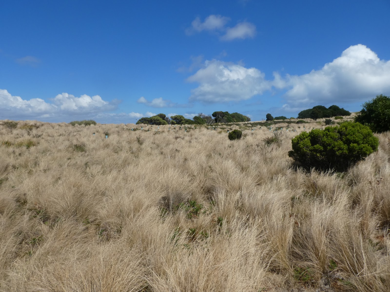
where an increasing number of low trees were beginning to break up the expanses of spiky grass.

It was along this section that we were afforded our first views across the southern end of Tatlows Beach and beyond and across the isthmus to the sweep of Perkins Bay to the west.

It was also at this point that we were confronted by the first set of stairs on the trail

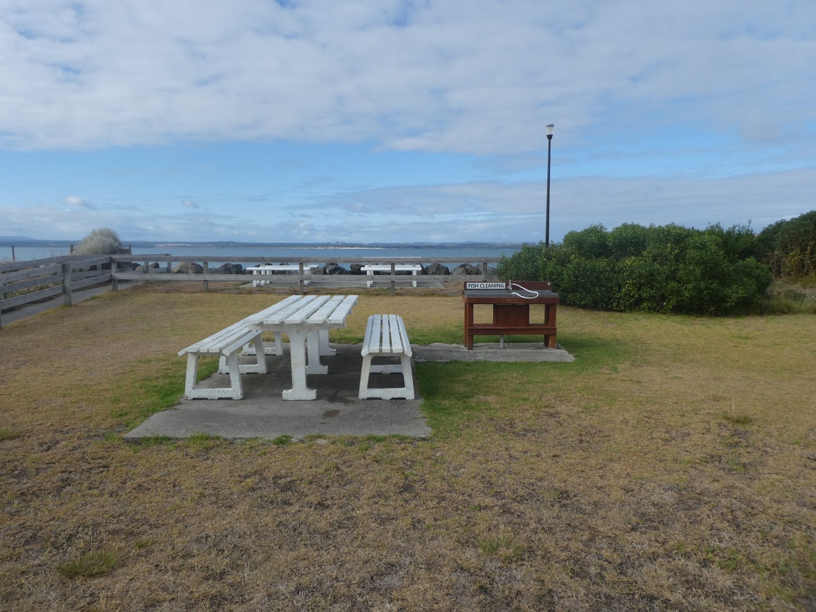
which took us down to the second of the designated lookout sites, aptly named Fisherman's Wharf lookout. This is what lay below us when we peered over the edge of the fence (we'll visit this area at ground level later).

What captivating vistas unfold at every lookout point around the top of the Nut. Just to the west of the main commercial docks, a protective marina pen provided safe haven for the many commercial fishing vessels which ply their trade out of Stanley, beyond which the waters of the Eastern Inlet were in plain view.

From this vantage point we could see far to the south-east across Sawyer Bay for our first (annoyingly hazy) sighting of the long bulk carrier loading wharf which jutted far out to sea from the shore at Port Latta. You may recall this is the port from which the Savage River iron ore is shipped.

And it was from here too that the we had our first good look at the site of the free camp ground beside the Stanley showgrounds to the west of our park.

Beyond this lookout, the flora changed dramatically. Quite tall timber took over from the grassy plains,

and in no time we found ourselves tramping through leafy glades

and past more dense clumps of creeper.

Park benches and tables under the shade of this thicket provided an ideal picnic point in an area of the top of the Nut which could not have been more different from the majority of the topography.

The trail continued for probably a few hundred metres through this vegetation

before the thickets of trees petered out and the protective plastic around the short stakes provided evidence of a significant flora regeneration programme.

After this arboreal respite, it was back to the grassy plains.

Our last lookout loomed,

again located on a flat rock plate right on the edge of the sheer side of the Nut.

In a shot 'I prepared earlier' this shows where we were now standing, as seen from below.

In a shot 'I prepared earlier' this shows where we were now standing, as seen from below.

The views here were 'classic Stanley', over the boat ramp and slips at the end of Tatlows Beach with the waters of both the East and West Inlets in the distance,

the vast expanses of the flat wet sands of Tatlows Beach on a falling tide,

and the township of Stanley itself, or at least most of it. And as this shot demonstrates so clearly, here the sea is never far away, in any direction.
What a panorama this lookout provided.

And by now we had all but completed our two and a bit kilometre circumnavigation of the top of the Nut.
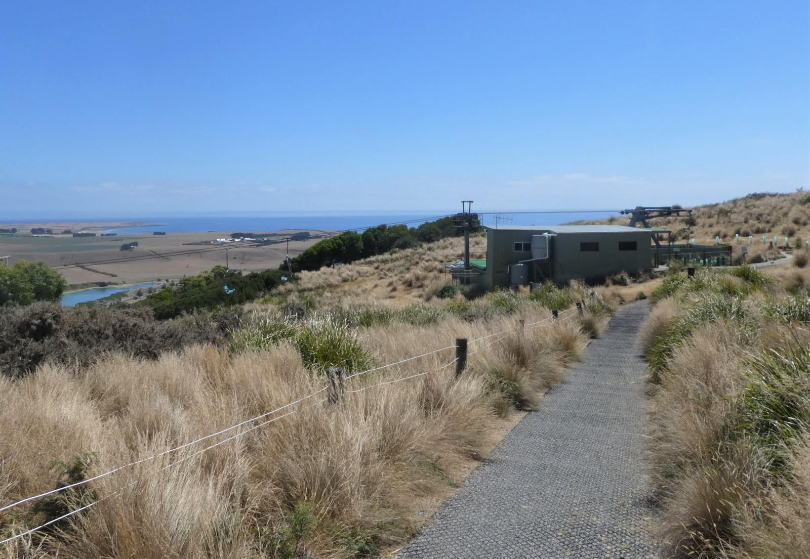
The chairlift station was again in sight and our ramble was almost at an end.

Before boarding the chairlift for our descent, I scooted off down the upper section of the summit walkway to snap the chairlift station from another angle

before wandering back to prepare to take up our position on the launching platform and await the next chair.


before wandering back to prepare to take up our position on the launching platform and await the next chair.
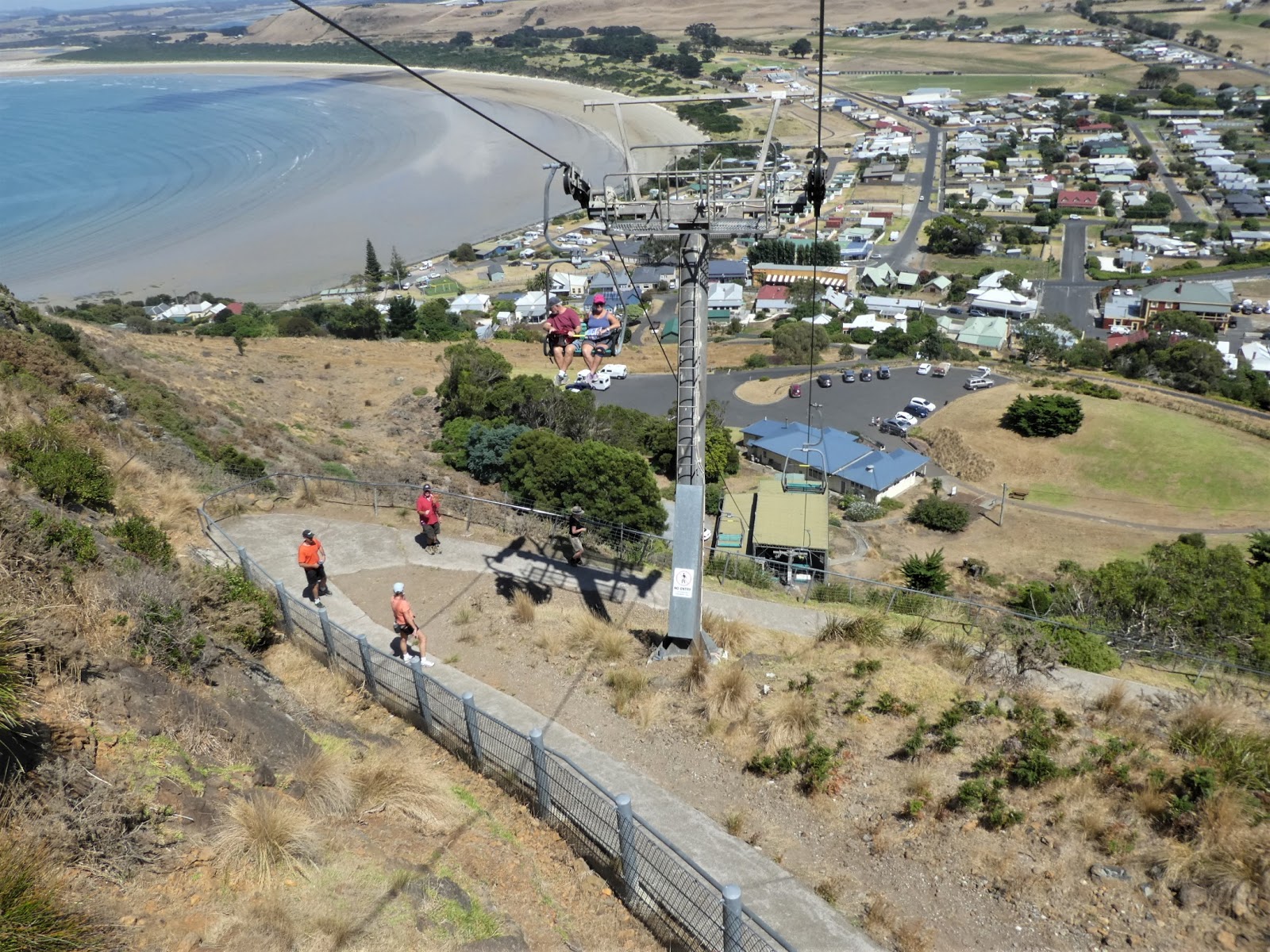
Uneventfully re-embarked, again we sailed serenely over groups on the track as we gently drifted down to the base station, cafe and car park below.

And it was during this glide back to earth that we were afforded this marvellous view out along Godfreys Beach, the second of the two stretches of Stanley sand, with Highfield House away in the distance (and more of the walking path below!)
What a wonderful way this was to see Stanley, and, as all the tourist brochures, travel agents and park companions we met who have been here before, scream long and loud...."you must do the Nut". We had, and we loved it. This is undoubtedly one of Tasmania's scenic highlights.