I shall be the first to admit I'm the world's worst patient unless, that is, I'm on death's door, and although my sense of humour was severely strained over our extra two day's enforced stay in Port Pirie, honesty demands the admission that my condition was far from that. But it was bad enough to keep me in my cot for most of that time and by Friday I felt well enough (bored enough...fed up enough...impatient enough...take you pick!) to venture forth.
It was time to satisfy an ambition born of several transits across the Barrier Highway, an overnight stop in the tiny, ramshackle town of Cockburn where in days of yore, when the pub on the SA side closed at 1800 hours, those with a continuing thirst merely walked down the street, crossed into NSW and continued on until 2200 hours.
Those days are now long past. Cockburn, as we were soon to discover, is but a shell of its former self, a town where the remaining eleven permanent residents are clinging like limpets to their lifestyle in the knowledge that once they have moved on for what ever reason, the Government will step in and formally 'close the town'.
How it came to this was something we were keen to explore, but of course we first had to get there. But before we leave 'smelter city' I must include one more photo which I omitted from my previous blog (much to my annoyance). This excellent aerial, courtesy of the 'abc',

shows a ship alongside at the Barrier Wharf with the line of Ellen Street historic buildings we looked at in detail separated from the docks by the railway line. You can also see that the port of this town is indeed reached by way of a 'creek', albeit one which is of some size.

So, with that farewell, it is time to hit the highway yet again and as I was poking around the Internet (as I do) I came across this neat little map which shows exactly where we were about to travel.
Interestingly, this came as part of a promotional package vaunting the Barrier Highway as a tourist trip of interest. From our past experiences travelling this route in both directions more than once, we couldn't agree more. And after over a year in 'the big smoke' or nearby, we were quite looking forward to being in the outback once again.

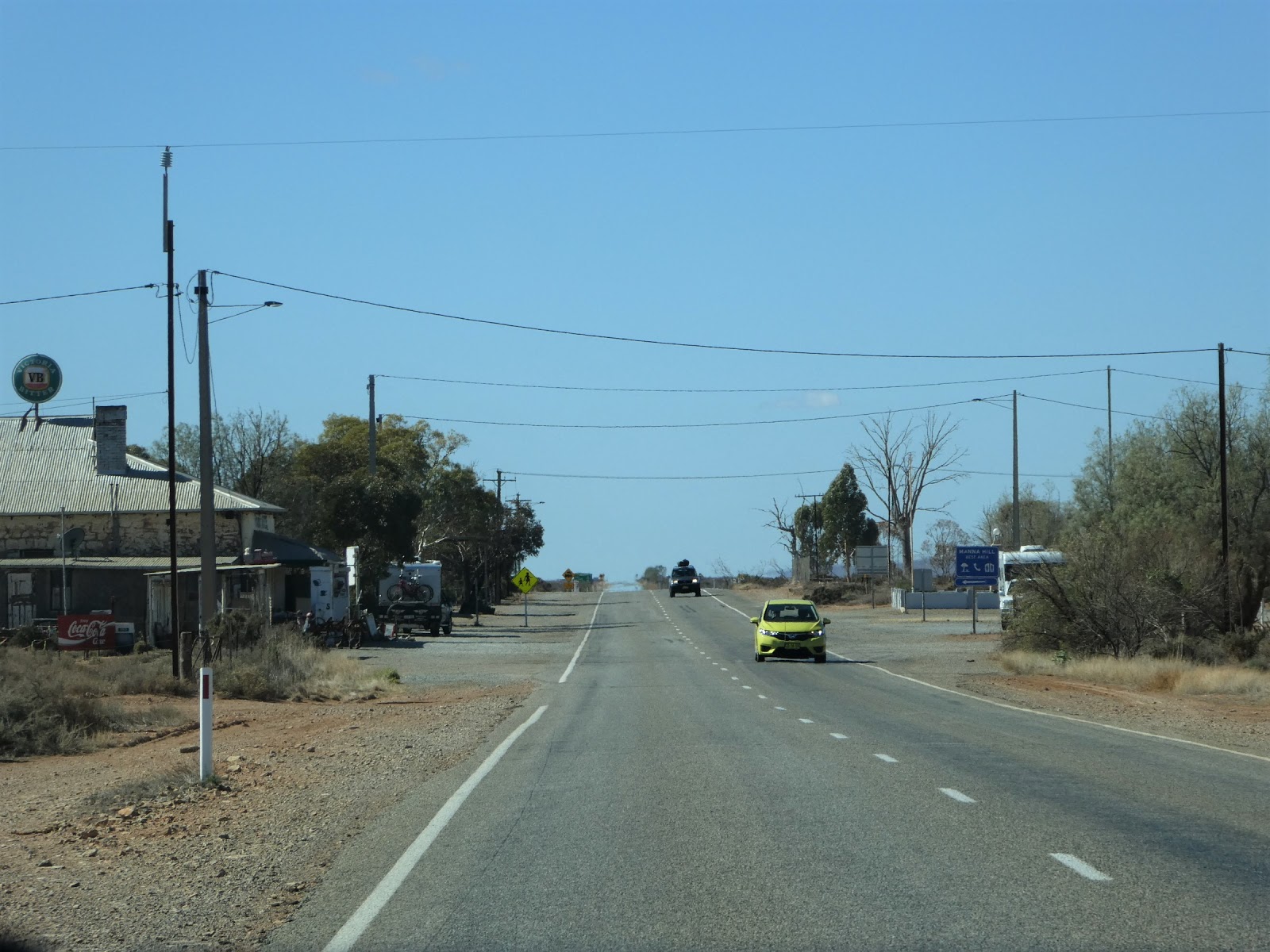
The first leg of today's trip of just under 350 kilometres took us through the dry looking, ploughed grain paddocks

and rolling hills of South Australia's mid-north farming district as we made our way east towards the Barrier Highway.
We have done much of this route previously, so I've limited photos for obvious reasons, but one of the small towns through which we travelled did present us with something new.

There can be no doubting the fact that the owner of the Caltowie Hotel certainly knows how to grab the attention of those passing by!

Jamestown, Mannaraire and Yongala were all left in our mirrors before we reached the old railway town of Peterborough, a town in which we have previously stayed on two occasions.

Today, however, we continued on through the Friday morning traffic clogging the main street

and on out of town to the junction we had been seeking where the B79 on which we had been travelling

brought us to the A32, the Barrier Highway and our route east.

Within less than half an hour we found ourselves sliding past the closed doors of the roadside hotel in the 'interestingly' named town of Oodla Wirra (from the aboriginal meaning 'hill and tree country')

before the gleaming ribbon of the highway took us further into the increasingly arid countryside of the far east of South Australia.

By now the highway and the main east-west railway line were running parallel with each other across the open saltbush plains with the sharply pointed hills of the aptly named Porcupine Range in the distance.

We had no need of either fuel or personal sustenance as

we drove under the glaring eyes of the speed monitoring camera which hovers threateningly over the highway at Yunta

and on out past the large water tank, a reminder of the days of steam on the east-west railway.

Mannahill, with a population of about 50,
still sports a local pub (C1889), a police station and post office

and, of course, an old railway station. What many do not realize, however, is that whilst the railway and the stock route which passed through the town had a real influence on its development, it was actually the discovery of gold in the surrounding area which put this town on the map.

With just over 100 kms yet to run, the saltbush plains stretched out flat to the horizon in all directions. We were certainly in the outback.

And there it was. As we crested this highway bridge over the railway line, the small cluster of buildings which make up this isolated eastern border hamlet came into view. Today's trip was almost at an end.

The welcome mat was out,

and we duly cruised in off the highway and pulled up in front of what is now the only remaining hotel in this tiny town where, apart from serving meals and liquid refreshments, the volunteer staff also act as the local post masters in a room now set aside for that purpose after the 'formal' post office was closed.
We had pulled in just before midday, and whilst the front door was wide open, we couldn't find any one at home. We could have quite easily hopped behind the bar and helped ourselves, but of course inherent honesty precluded any thought of this!
After a bit of banging and clattering and a few 'cooees', a dear old soul finally emerged from somewhere at the back of the pub to welcome us to town and take the modest $20 fee for a powered site (no water...but we had come prepared with full tanks) for the night.
She confirmed that meals would be served at 1800 hours and advised that tonight's menu included roast chicken or home made ravioli (and that was it!).

With orders placed and fees paid we reversed course along Elder Terrace and drove the 100 metres or so past a few of the remaining town buildings

to the entrance of the park which was to be our home away from home for the next twenty hours or so.
Here, yet again, the sandwich board which had obviously had a previous mission in life,

carried another message of welcome and advice.

Oddly enough, we had the place to ourselves at this time of the day (two other vans did arrive here later) and we chose a site where we tucked up between a water tank and a large shade tree.

The building behind the van enclosed the toilets and showers, and whilst the general amenity within was a touch agricultural, I can confirm that the advertised hot water was a reality and the flow much more than the anticipated trickle.

This is the street view of the tin toilet block and the large stone building next to our van which functions as the Cockburn community hall.
I'll share the results and have a bit to say about the history and the quite remarkable current population of this border town in my next.
No comments:
Post a Comment