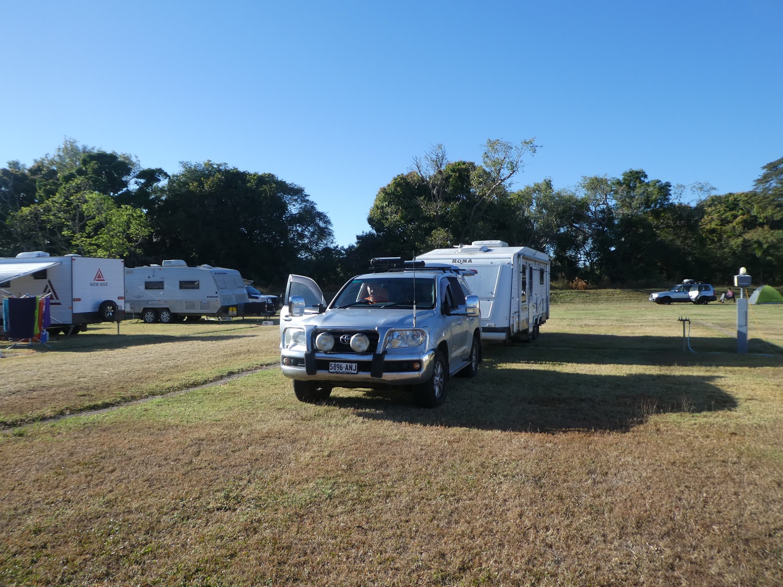
Fast forward indeed, across ground we have previously covered. The Bruce Highway from Sarina to Kurrimine Beach is so familiar that to include any of that in this missive would be repetition on repetition... it's just not happening!
Although we have previously spent some time in Airlie Beach (albeit a long time ago....August 2012 on a day trip out of nearby Conway Beach) we decided that on this journey we would spend a few days here.
We had a few good reasons to do so, not least of which was the fact that we needed to break the almost 400 kms run between Sarina and Townsville (a now standard and obligatory stop-over point to visit the last Dan Murphy's before Kurrimine Beach!). We had heard good reports about a pet friendly park near the local airport, and, finally, an old surf club mate of your scribe's lives nearby. It was time to catch up (the fact he owns a large off-shore fishing boat had nothing to do with it!).

 With Mackay and Proserpine behind us in our 190 kms trip of today, within two and a half hours we found ourselves making our way in through the large Airlie Beach 'sattelite suburb' of Cannonvale,
through its extensive commercial and light industrial areas

and finally into Airlie Beach proper.

Aside from all else which can be found here, there is no shortage of boats of every size and design imaginable. The somewhat hilly approach to the main town CBD

provided us with good views of the first of several marinas which provide shelter for these craft.

Apartment buildings, both private and holiday rental, crowd the steep slopes above the quite small town centre (all the big stuff is out in Cannonvale)

and as we made our way through the central district, the second harbour came into view,

where yet another holiday resort building provided those in residence with excellent views of more yacht masts rising above their finger berths. What a different scene this was in late March 2017 when Cyclone Debbie tossed these craft about like small boats in a petulant child's bath.


Our chosen park lay about half way between central Airlie Beach and the nearby Shute Harbour some ten or so kms further on. The now renamed Tropical Eco Resort was also hammered by destructive Debbie a couple of years ago,
but as we made our way to our site along the quite narrow entrance roadway, it was clear that nature and the new park owners had been hard at it since....the park looked lush with tropical trees and gardens and there was not a frayed frond to be seen.

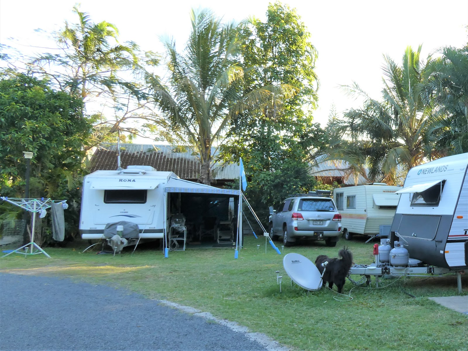
For some reason I did not take my usual raft of park photos, so I'll have to make do with what we have, including this of our site row,

and this, as we were hitched and about to leave.

The camp kitchen was to be found at the end of our row

We had a few good reasons to do so, not least of which was the fact that we needed to break the almost 400 kms run between Sarina and Townsville (a now standard and obligatory stop-over point to visit the last Dan Murphy's before Kurrimine Beach!). We had heard good reports about a pet friendly park near the local airport, and, finally, an old surf club mate of your scribe's lives nearby. It was time to catch up (the fact he owns a large off-shore fishing boat had nothing to do with it!).

 With Mackay and Proserpine behind us in our 190 kms trip of today, within two and a half hours we found ourselves making our way in through the large Airlie Beach 'sattelite suburb' of Cannonvale,
through its extensive commercial and light industrial areas

and finally into Airlie Beach proper.

Aside from all else which can be found here, there is no shortage of boats of every size and design imaginable. The somewhat hilly approach to the main town CBD

provided us with good views of the first of several marinas which provide shelter for these craft.

Apartment buildings, both private and holiday rental, crowd the steep slopes above the quite small town centre (all the big stuff is out in Cannonvale)

and as we made our way through the central district, the second harbour came into view,

where yet another holiday resort building provided those in residence with excellent views of more yacht masts rising above their finger berths. What a different scene this was in late March 2017 when Cyclone Debbie tossed these craft about like small boats in a petulant child's bath.


Our chosen park lay about half way between central Airlie Beach and the nearby Shute Harbour some ten or so kms further on. The now renamed Tropical Eco Resort was also hammered by destructive Debbie a couple of years ago,
but as we made our way to our site along the quite narrow entrance roadway, it was clear that nature and the new park owners had been hard at it since....the park looked lush with tropical trees and gardens and there was not a frayed frond to be seen.

For some reason I did not take my usual raft of park photos, so I'll have to make do with what we have, including this of our site row,

and this, as we were hitched and about to leave.

The camp kitchen was to be found at the end of our row

and as this shot from the rear of our van, looking across at some of the new park cabins shows, much of the area between sites was under good grass.

The stems of many of the fan palms glowed golden in the late afternoon sun, but the real feature of this park were the birds.........

.......bush stone curlews, myriads of them.

These long-legged birds with their baleful eyes and wailing night cries could be found throughout the park, peering from behind trees,

skulking in the park garden beds,

or wandering about in the open spaces, in this case under the watchful eye of The Black Panther.
We were more than familiar with these ornithological oddities (they abound at Kurrimine Beach) but we had never before encountered them in a situation like this. Normally quite shy and secretive, with a defence mechanism which drives them to stand stock still when approached, this lot were just to opposite, particularly with the approach of the afternoon happy hour.

As folk gathered far and wide under their awnings for the obligatory late afternoon tipple, one could be forgiven for thinking that these curlews had somehow interbred with seagulls. They would come running on their stilt like legs towards each emerging van occupant in the obvious hope of being fed a tidbit or two (which was often the case).
We had never seen anything like it. It just goes to show what the quest for food and local conditioning will do. It seems Pavlov was right!

The resident park Kookaburras, normally adept scavengers themselves, distanced themselves completely from all this undignified behaviour, watching on in aloof and superior silence

until it all just became laughable!
Aside from park bird-watching, we did wander hither and yon during our stay, to find that the central CBD and foreshore area was still bustling with back-packer types and was just as 'touristy' as it had been on our last visit.
A quick run out to Shute Harbour showed that much of the previous infrastructure destroyed by Debbie has not been replaced. In fact the vast majority of the Whitsunday Islands boat transfers and day trips now leave from the Airlie Beach town marina. We rather suspect that the Shute Harbour facilities are now going to be confined to the commercial operations involving barges supplying the needs of the various island resorts.
For your scribe, a real highlight of our short stay was a very pleasant couple of hours spent at the nearby Jubilee Pocket Tavern catching up with an old Glenelg Surf Club mate who has lived in this area now for many years. Unfortunately our respective schedules precluded a fishing trip, but it has been mutually agreed that this will be on our joint future agendas.
A couple of days before we left, we were visited by our old (not a friend) Murphy. A lack of hot water led us to believe that something had gone awry with the electrical feed to the element, but as to what.......???!
Now I am prepared to fix anything relating to the van plumbing (and have on several occasions) and have had a successful crack at a couple of awning repairs, but electrical power is another matter altogether, be it 12V or 240V.....240V in particular. Apart from the legalities involved, that stuff can kill you.
This was a job for an expert.

To my great surprise the local caravan repair service was able to squeeze us in on the morning of our departure, provided we could be there by 0800 hours. Needless to say we were!

A deal of prodding and poking with volt metres and the like, both inside and outside the van, led to the eventual discovery that the 240 volt plug (oddly located in one of Liz's bedroom cupboards) to which the the lead to the hot water element is connected, had gone 'US'.
No amount of rummaging about by the most affable and obliging repair fellow, in both the spare parts store or his workshop, could produce the required plug, so a permanent repair was impossible. But at least we did nut out a manageable by-pass system and we pushed on knowing that one of the park owners at Kurrimine Beach is a qualified 'sparky' and should be able to provide a permanent solution (he did!).

So with Liz now having to avoid tripping over a temporary lead running from her bedside table plug to the heater element plug in her cupboard, we pushed on to Townsville, where we set up for the night in one of the large drive-thu sites we had previously used at the Magnetic Gateway park.
As we do always on this run north, a Saturday overnight stay here puts us on the doorstep of Dan Murphy's at Garbutt (Townsville suburb) at 0900 hours on Sunday, when we know that the large car park will be blessedly empty and we can stock the van with all manner of liquid refreshment without having to fight our way in and out of either the store or the car park.
Thus it was, and once the van was groaning in protest with the additional weight of the cellar resupply, we were off to Forrest Beach to catch up with two groups of friends.

This, of course, took us through Ingham where we were well and truly back into cane country and crossed what we consider to be the southern boundary of Far North Queensland.
There is continuing debate about what actually constitutes the region of FNQ, and interestingly, in recent times the Government has stepped in to have all the tourist entities alter the name of this part of the State to 'Tropical North Queensland'.
And the reason.......they were afraid that the use of the word 'Far' in the title would deter overseas visitors on limited time schedules! I suppose I would have to concede that having met folk who have flown in from Europe and elsewhere with an avowed plan to buy a vehicle and 'see Australia', and when asked about their time frame respond "two weeks", there may be some basis for the concern.
Irrespective of the virtues of any arguments, Ingham marks the beginning of FNQ for us, a region of never ending cane fields and banana plantations, steep mountain ranges covered with dense rain forest, cane train railways, steam and smoke belching sugar mills, and warm rain.

As happened last time at Forrest Beach, our allocated site was quite tight, and we did entertain all and sundry manoeuvring on to it. To my great relief we did so with our usual aplomb and we were perfectly happy to accept the compliments of several by-standers who were quite unashamedly watching proceedings.
Both couples we had come to visit were well ensconced by the time we arrived. The arrangement to rendezvous here in the case of one of them went back to a lunch I had attended in Adelaide in December 2018, the annual Surf Lifesaving SA life members' luncheon. Obviously given our current nomadic lifestyle, I rarely get to take a place at the table at this event.
To my delight I found myself sitting next to a very old friend and colleague, a chap who had been one of the original Lifesaving Helicopter Rescue crew members I recruited and trained in late 1979. George, an electronics whizz, went on to become the service communications specialist. He had more than graciously saved my non-technical bacon on numerous occasions at various meetings and conferences when problems with our comz was the topic (and as the boss it was assumed I knew what I was talking about....which I never did!).
I knew that he and his wife travelled extensively, but was quite taken aback when he mentioned that their plans for the coming year included a lengthy stint at Forrest Beach.
"I don't suppose you know where that it, Pete", was his accompanying comment. "Know it....mate, we've stayed there....it is on our list for our trip north to Kurrimine Beach once we can get away".
Needless to say, our seven days at Forrest Beach included several lengthy sessions at the bar of the pub which is part and parcel of the park. Oddly enough our respective spouses soon decided that we had become a pair of boring old farts and went off into their own little huddle!

This week went by in a flash before we were back on the road through Ingham once again, now with our sights set on Cardwell, Tully and just beyond.

All went without incident on this last leg, where the highway took us past sections of the very aptly named 'Misty Mountains',
until we rounded the bend from which we can always see the high stacks of the Tully Mill spewing smoke and steam high into the air over the town which nestles at the base of the intimidating Mount Tyson.

As we did so we could not believe our eyes. In all the now seven years we have been making this pilgrimage, this was the first time we had been greeted by this sight.....the mill was shut.
We soon discovered that an unusual wet spell throughout the surrounding cane district had rendered the cane cutting machinery impotent....they were just bogging down in the mud. With no cane to process, operations came to a standstill, much to the frustration of all involved in the industry. Mind you, things were back to normal within a week of our arrival.

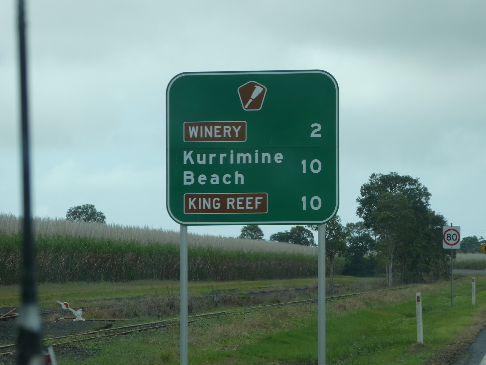
We were still musing over this most unexpected sight as we turned off the Bruce Highway onto this sort leg of the 'Cane Cutters Way' and the last 10 kms of our journey north.

Within less than ten minutes the more than familiar sign over the Kurrimine Beach Holiday Park welcomed us back for the winter.

After effusive greetings from the park owners and staff (a couple arriving at the same time were quite non-plussed) and a quick chat, I crept down the busy park roadway to the site always reserved at this time of the year for the Mobile Marshies......site 12.

And it was then that we knew we had well and truly arrived on familiar turf!
Needless to say heads were poking out surreptitiously from all the surrounding van annexes as I got out to set up our approach manoeuvres, no doubt waiting for the eruption! I erupted alright.....with gales of laughter. "Gordon, you idiot!"

We were home indeed and within a day or so completely settled into the 'naughty corner' for the next three months, with our close Victorian friends Rhonda and John and 'Bob The Dog' nearby.
Most of the Kurrimine Beach 'boomerangs' were already in residence. The site 12 'beer garden' sign went out and the happy hour bell was retrieved from its travelling nook and made handy. The festivities were about to begin!

The stems of many of the fan palms glowed golden in the late afternoon sun, but the real feature of this park were the birds.........

.......bush stone curlews, myriads of them.

These long-legged birds with their baleful eyes and wailing night cries could be found throughout the park, peering from behind trees,

skulking in the park garden beds,

or wandering about in the open spaces, in this case under the watchful eye of The Black Panther.
We were more than familiar with these ornithological oddities (they abound at Kurrimine Beach) but we had never before encountered them in a situation like this. Normally quite shy and secretive, with a defence mechanism which drives them to stand stock still when approached, this lot were just to opposite, particularly with the approach of the afternoon happy hour.

As folk gathered far and wide under their awnings for the obligatory late afternoon tipple, one could be forgiven for thinking that these curlews had somehow interbred with seagulls. They would come running on their stilt like legs towards each emerging van occupant in the obvious hope of being fed a tidbit or two (which was often the case).
We had never seen anything like it. It just goes to show what the quest for food and local conditioning will do. It seems Pavlov was right!

The resident park Kookaburras, normally adept scavengers themselves, distanced themselves completely from all this undignified behaviour, watching on in aloof and superior silence

until it all just became laughable!
Aside from park bird-watching, we did wander hither and yon during our stay, to find that the central CBD and foreshore area was still bustling with back-packer types and was just as 'touristy' as it had been on our last visit.
A quick run out to Shute Harbour showed that much of the previous infrastructure destroyed by Debbie has not been replaced. In fact the vast majority of the Whitsunday Islands boat transfers and day trips now leave from the Airlie Beach town marina. We rather suspect that the Shute Harbour facilities are now going to be confined to the commercial operations involving barges supplying the needs of the various island resorts.
For your scribe, a real highlight of our short stay was a very pleasant couple of hours spent at the nearby Jubilee Pocket Tavern catching up with an old Glenelg Surf Club mate who has lived in this area now for many years. Unfortunately our respective schedules precluded a fishing trip, but it has been mutually agreed that this will be on our joint future agendas.
A couple of days before we left, we were visited by our old (not a friend) Murphy. A lack of hot water led us to believe that something had gone awry with the electrical feed to the element, but as to what.......???!
Now I am prepared to fix anything relating to the van plumbing (and have on several occasions) and have had a successful crack at a couple of awning repairs, but electrical power is another matter altogether, be it 12V or 240V.....240V in particular. Apart from the legalities involved, that stuff can kill you.
This was a job for an expert.

To my great surprise the local caravan repair service was able to squeeze us in on the morning of our departure, provided we could be there by 0800 hours. Needless to say we were!

A deal of prodding and poking with volt metres and the like, both inside and outside the van, led to the eventual discovery that the 240 volt plug (oddly located in one of Liz's bedroom cupboards) to which the the lead to the hot water element is connected, had gone 'US'.
No amount of rummaging about by the most affable and obliging repair fellow, in both the spare parts store or his workshop, could produce the required plug, so a permanent repair was impossible. But at least we did nut out a manageable by-pass system and we pushed on knowing that one of the park owners at Kurrimine Beach is a qualified 'sparky' and should be able to provide a permanent solution (he did!).
So with Liz now having to avoid tripping over a temporary lead running from her bedside table plug to the heater element plug in her cupboard, we pushed on to Townsville, where we set up for the night in one of the large drive-thu sites we had previously used at the Magnetic Gateway park.
As we do always on this run north, a Saturday overnight stay here puts us on the doorstep of Dan Murphy's at Garbutt (Townsville suburb) at 0900 hours on Sunday, when we know that the large car park will be blessedly empty and we can stock the van with all manner of liquid refreshment without having to fight our way in and out of either the store or the car park.
Thus it was, and once the van was groaning in protest with the additional weight of the cellar resupply, we were off to Forrest Beach to catch up with two groups of friends.

This, of course, took us through Ingham where we were well and truly back into cane country and crossed what we consider to be the southern boundary of Far North Queensland.
There is continuing debate about what actually constitutes the region of FNQ, and interestingly, in recent times the Government has stepped in to have all the tourist entities alter the name of this part of the State to 'Tropical North Queensland'.
And the reason.......they were afraid that the use of the word 'Far' in the title would deter overseas visitors on limited time schedules! I suppose I would have to concede that having met folk who have flown in from Europe and elsewhere with an avowed plan to buy a vehicle and 'see Australia', and when asked about their time frame respond "two weeks", there may be some basis for the concern.
Irrespective of the virtues of any arguments, Ingham marks the beginning of FNQ for us, a region of never ending cane fields and banana plantations, steep mountain ranges covered with dense rain forest, cane train railways, steam and smoke belching sugar mills, and warm rain.

As happened last time at Forrest Beach, our allocated site was quite tight, and we did entertain all and sundry manoeuvring on to it. To my great relief we did so with our usual aplomb and we were perfectly happy to accept the compliments of several by-standers who were quite unashamedly watching proceedings.
Both couples we had come to visit were well ensconced by the time we arrived. The arrangement to rendezvous here in the case of one of them went back to a lunch I had attended in Adelaide in December 2018, the annual Surf Lifesaving SA life members' luncheon. Obviously given our current nomadic lifestyle, I rarely get to take a place at the table at this event.
To my delight I found myself sitting next to a very old friend and colleague, a chap who had been one of the original Lifesaving Helicopter Rescue crew members I recruited and trained in late 1979. George, an electronics whizz, went on to become the service communications specialist. He had more than graciously saved my non-technical bacon on numerous occasions at various meetings and conferences when problems with our comz was the topic (and as the boss it was assumed I knew what I was talking about....which I never did!).
I knew that he and his wife travelled extensively, but was quite taken aback when he mentioned that their plans for the coming year included a lengthy stint at Forrest Beach.
"I don't suppose you know where that it, Pete", was his accompanying comment. "Know it....mate, we've stayed there....it is on our list for our trip north to Kurrimine Beach once we can get away".
Needless to say, our seven days at Forrest Beach included several lengthy sessions at the bar of the pub which is part and parcel of the park. Oddly enough our respective spouses soon decided that we had become a pair of boring old farts and went off into their own little huddle!

This week went by in a flash before we were back on the road through Ingham once again, now with our sights set on Cardwell, Tully and just beyond.

All went without incident on this last leg, where the highway took us past sections of the very aptly named 'Misty Mountains',
until we rounded the bend from which we can always see the high stacks of the Tully Mill spewing smoke and steam high into the air over the town which nestles at the base of the intimidating Mount Tyson.

As we did so we could not believe our eyes. In all the now seven years we have been making this pilgrimage, this was the first time we had been greeted by this sight.....the mill was shut.
We soon discovered that an unusual wet spell throughout the surrounding cane district had rendered the cane cutting machinery impotent....they were just bogging down in the mud. With no cane to process, operations came to a standstill, much to the frustration of all involved in the industry. Mind you, things were back to normal within a week of our arrival.
We were still musing over this most unexpected sight as we turned off the Bruce Highway onto this sort leg of the 'Cane Cutters Way' and the last 10 kms of our journey north.

Within less than ten minutes the more than familiar sign over the Kurrimine Beach Holiday Park welcomed us back for the winter.

After effusive greetings from the park owners and staff (a couple arriving at the same time were quite non-plussed) and a quick chat, I crept down the busy park roadway to the site always reserved at this time of the year for the Mobile Marshies......site 12.

And it was then that we knew we had well and truly arrived on familiar turf!
Needless to say heads were poking out surreptitiously from all the surrounding van annexes as I got out to set up our approach manoeuvres, no doubt waiting for the eruption! I erupted alright.....with gales of laughter. "Gordon, you idiot!"
We were home indeed and within a day or so completely settled into the 'naughty corner' for the next three months, with our close Victorian friends Rhonda and John and 'Bob The Dog' nearby.
Most of the Kurrimine Beach 'boomerangs' were already in residence. The site 12 'beer garden' sign went out and the happy hour bell was retrieved from its travelling nook and made handy. The festivities were about to begin!


